


You watched the news this morning, and the meteorologist told you snow is coming this weekend. Conversations at the coffee shop and the break room at work center around the amount of snow we might get. But now you actually want to know, “how much am I going to get at my house?” What if you’re driving somewhere else? Might be helpful to know how much other places are going to get too. Look no further. You’re going to want to bookmark one of these links below!
72-Hour Snowfall Accumulation Forecast Maps
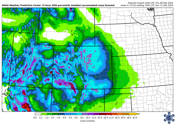
Pull up your weather app, and it’s likely to tell you “chance of snow, high of 29°F, 2-3″ of new accumulations,” or something similar. But that accumulation is just for the morning. Or afternoon. Or one brief time-period that is only one part of a total storm that has passed through. It’s hard to figure out the forecast total for the entire event from your weather app! Bookmark the links below for easy access to forecast snow accumulations.
- Intermountain West Ski Dashboard – not only does our ski dashboard provide a 7-day precipitation outlook, you can find 72-hour forecast snow accumulations like the one above (not current, from last week!). The 10th percentile map gives you an idea of a “low end” amount, the 50th percentile represents the most likely amount, and the 90th percentile map gives you the “high end” amount.
- National Weather Service Probabilistic Snow Forecast – The Boulder Weather Forecast Office has a wonderful winter page that shows snow forecasts for the entire state of Colorado. Included are the official snow total forecasts, with low end and high end amounts included. There are also probabilistic maps, so you can see the likelihood that your location will receive 2 inches, 6 inches, 10 inches (and other totals) for the next storm passing through.
- Snowfall Forecast Maps for Many Locations – the following link takes you to the snowfall forecast for the Contiguous United States (CONUS). Change “CONUS” in the URL to any Weather Forecast Office 3-letter identifier and you’ll zoom into that area. Or change “CONUS” to a state, such as “WY_state_Snow.png” to see any state’s snowfall forecast map. Thanks to Mark Ellinwood, and his informational post on X for this great resource!
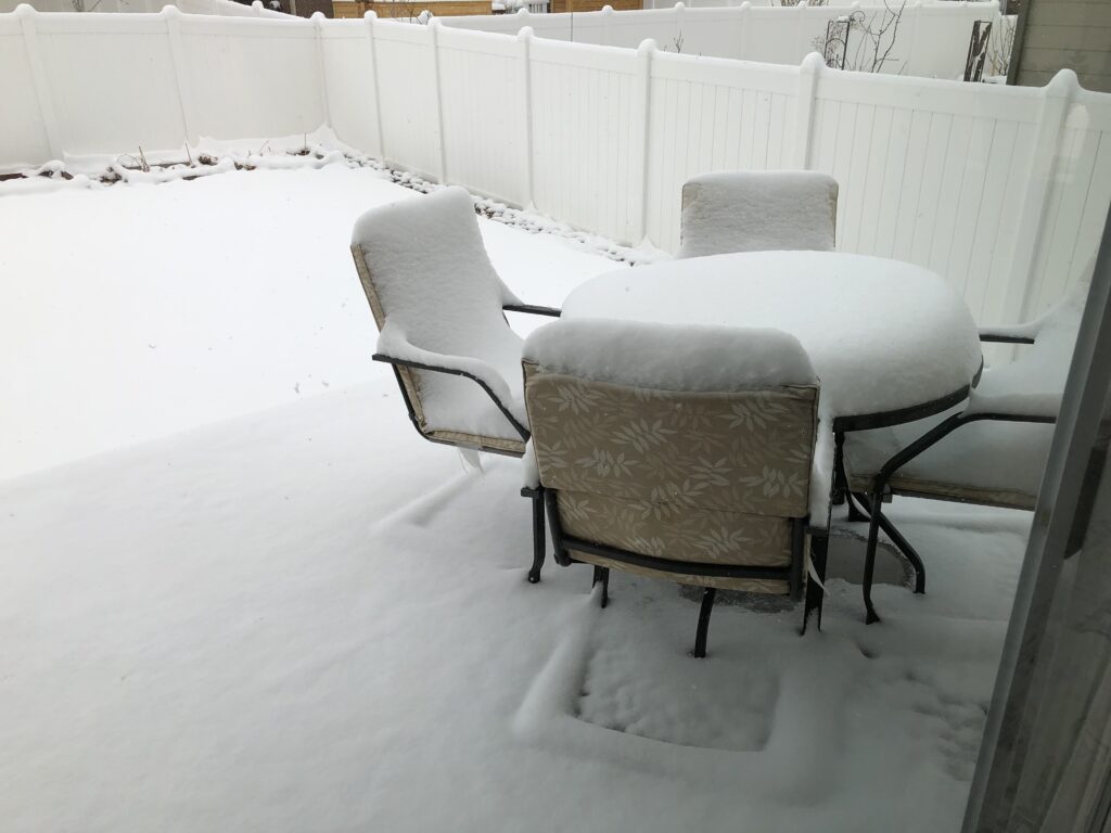
It snowed! Woohoo! You’ve taken pictures of your patio furniture and lawns. You’ve captured slo-mo videos of pretty snowflakes falling from the sky. You can go out into your own yard and measure the depth with a ruler. But… it is kinda cold. Also, you want to see the snowfall totals from other locations than just your backyard. Where do we find that information??
Snowfall Accumulation Maps AFTER the Event
The storm ended and you’re watching the news for totals. They tell you the official amount in Denver (which actually comes from Denver International Airport… or practically Kansas!). They share a short-list of other locations around the state – Boulder, Vail, Greeley. But they missed your town! Okay, make sure you have one of these bookmarked to get at that extra info you’re craving!
- Intermountain West Ski Dashboard – Back to the top of our ski dashboard page and you’ll find 24-hour, 48-hour, and 72-hour snowfall maps for the Intermountain West. These maps are generated by NOHRSC (pronounced know-risk), using observation data combined with models to estimate total snowfall at every point.
- NOHRSC Interactive Snow Information – Going directly to the NOHRSC page, you can set up your own preferences. Zoom into the area you want, pick the product that you want, add county lines or highways. Once done, scroll to the bottom, and on the left, you’ll see options to link to the image directly (“Link to latest image”) or to the page with the latest updates (“Link to latest page”).
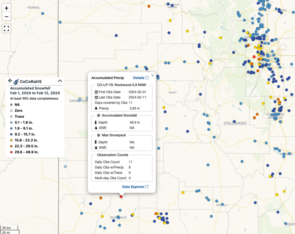
- CoCoRaHS New Snow Maps – gridded maps are cool, but station maps are cooler. Find the snowfall totals from thousands of CoCoRaHS volunteer observers. On this page, you can zoom into an area, pick the time period you want, make sure to select snowfall, and see the totals. Click on a station for more details!
Hopefully you’ve found one of these links helpful. Or maybe you’ve used links to other resources. Share where you get your information to further add to this database of helpful snowfall forecasts and totals!